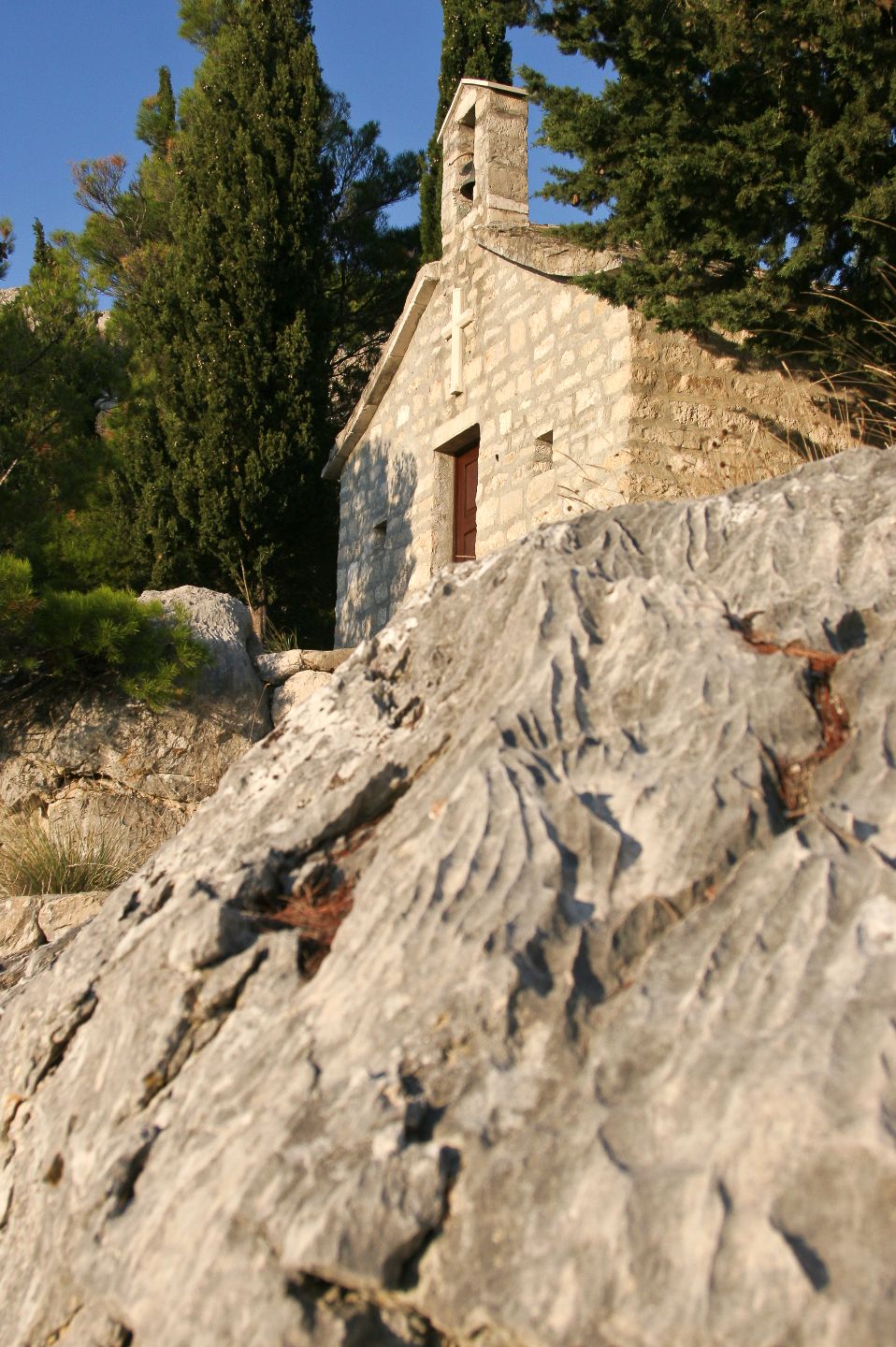
To the east of Solin, on the southern slopes of Mount Mosor, there is the village of Kučine, in the Middle Ages known as Kuk or Pod Kukom. The name of Kuk (belay) rock, mentioned in the priest Crnota’s testament of 1144 in its Latinized form Pot Chilco, was applied to the village under the rock as Pod Kukom (Under-the-Belay). Since the 18th century the village has been known as Kučine. It the predecessor of the present villages of Kučine and Mravince. Many of its plots of land have preserved their old descriptive names: Pod sv. Teklom (Under St. Tekla), Dračevac (Thorny Shrubs), Doci (Valleys), Pod Gustirnom (Under-the-Cistern), Trstenik (Reed Grove), etc. In the local graveyard there is St. Luke’s Church (Sv. Luka) originating from pre-Turkish times, as shown by the inscription over the door. The village is also known from 13th and 14th century documents (gift deeds and testaments) that mention inhabitants, land owners, names of particular plots of land (toponyms). In the vicinity, there were the villages of: Gostinj, Križ and, further towards the sea and Strožanac, the village of Gospa od Site.
On top of the large rock (285 m), known as Gradina (Hill-Fort) or Stari grad (Old Town), there was a prehistoric hill-fort, and a Venetian-Turkish wars’ fortification, as depicted on pottery and from the presence of fortification walls and house walls found within the fortress. The lands from Klis to the north, across the fields of Solin and Kaštela, as far as Trogir and Čiovo, Split and its territory, and Žrnovnica in the southeast were controlled by the fortress. The walls extend southward, too, to St. Peter’s Church, situated on a lower slope of Mount Mosor.
The Kuk fortress is considered to have been built by people living in the Solin Field, mostly by the inhabitants of the village Prosik who later withdrew, before the Turkish menace, to higher locations up Mount Mosor. The fortress was destroyed by the Turks in 1539 to prevent the locals obstructing their ruling of Solin Field from there. It was rebuilt later on.
Tourist board of Solin
Solin - Cradle of Ancient and old Croatian History
@


