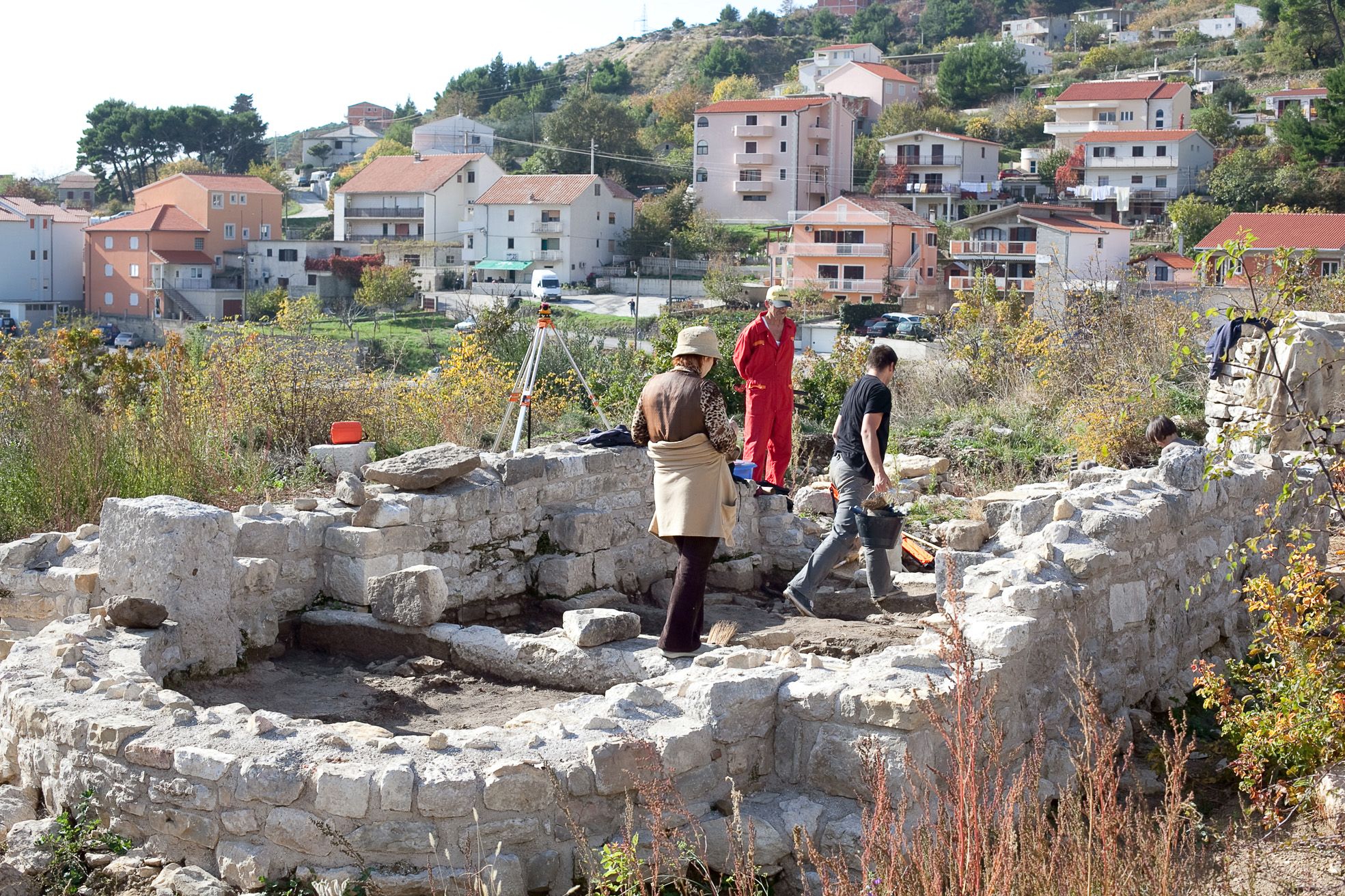
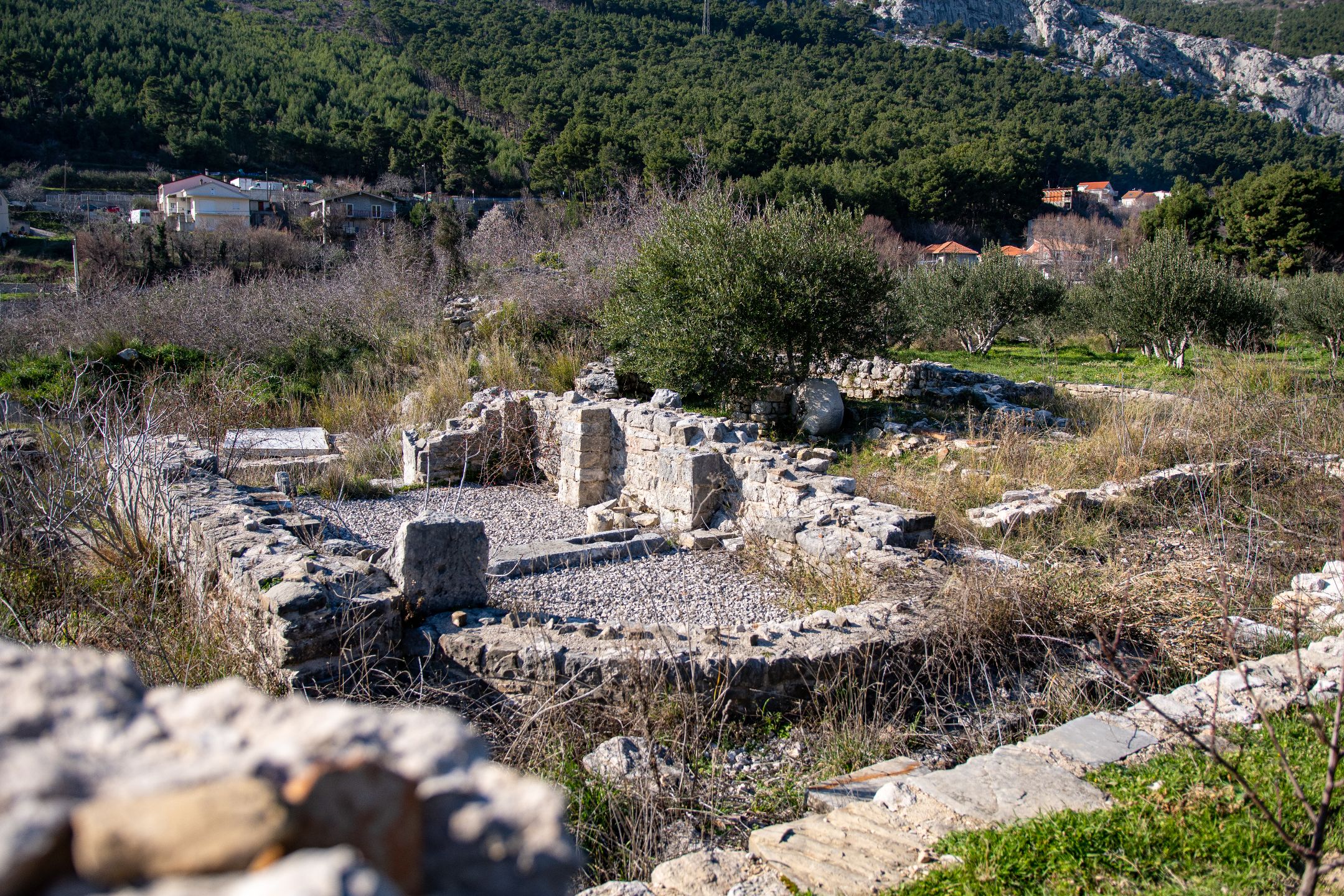
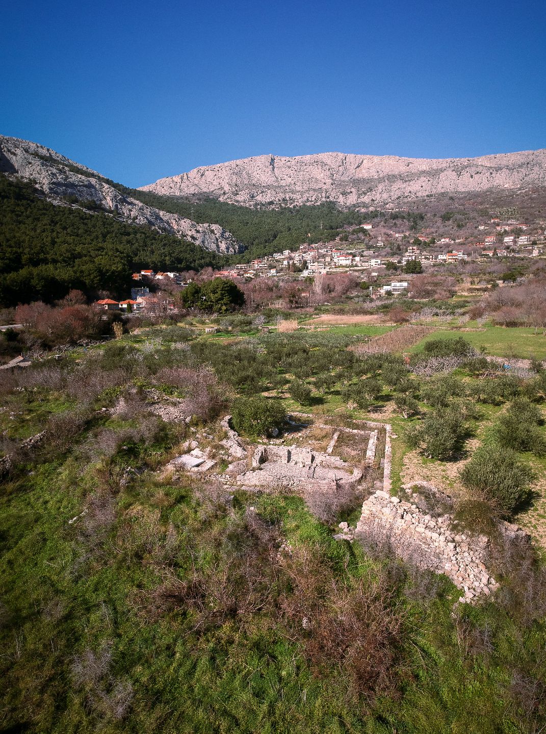
On top of a rocky hill, almost a small mountain side, to the northeast of Rižinice, at the locality of Crikvine, above Ilijino vrilo (Elias’s Well), there are remains of a small single aisle church with an apse and the base of an altar screen. It is surrounded by the remains of, probably, monastery structures and part of a defence wall that added to the protection provided by the steep cliff. The church’s name is probably made evident by the name of the well. Namely, this is how this location was recorded and described in the Zorzi Calergi’s map of 1675. Here, it can be seen that there are some more walls and visible remains of an olive or grape press. They have also found some objects of everyday use, objects from the classic Roman époque, and a few graves – some of them early medieval. In the vicinity, below the hilltop, the Calergi’s map recorded some mills.
[Edit mode] Swiper Gallery: att Crkvina